Griswold Hills BLM
This area is part of a BLM owned plot of land between 25 and I5.
If you really want to explore this area, you should get an information
packet from the BLM Office in Hollister.
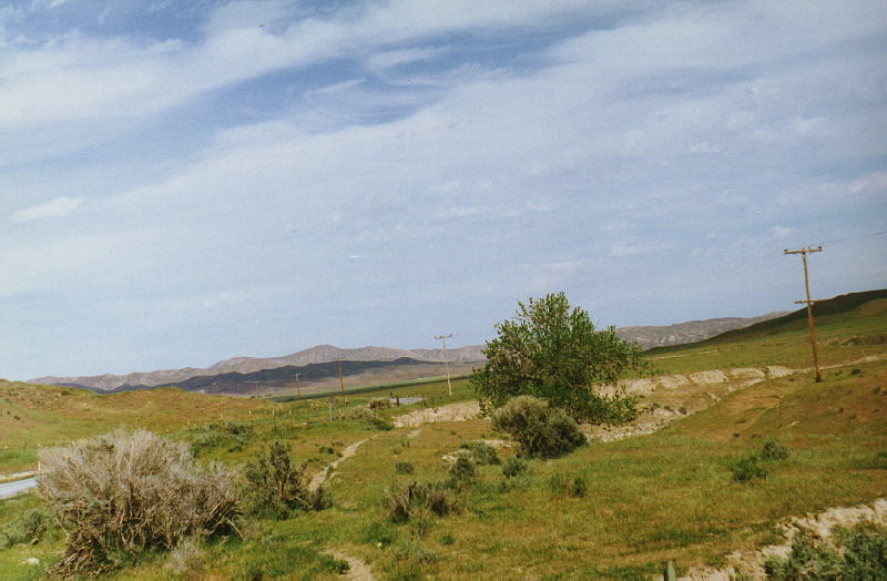
Here the road intersects the north part of the Griswold Hills BLM
unit on 3/20/1997. Easy
access via a paved road is what you have here.
Further south, the road enters a large section of BLM land, then goes
through a Wyoming like landscape to a few other plots of BLM land. The
road to New Idria is not paved at all for the last two miles or so, and
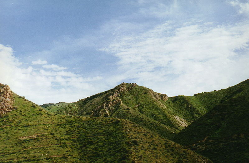
I gave up before I reached it. This
set is from March 1997 during an El Niño year, so this is about
as green
as this area gets.
The elevation is probably about 1000'.
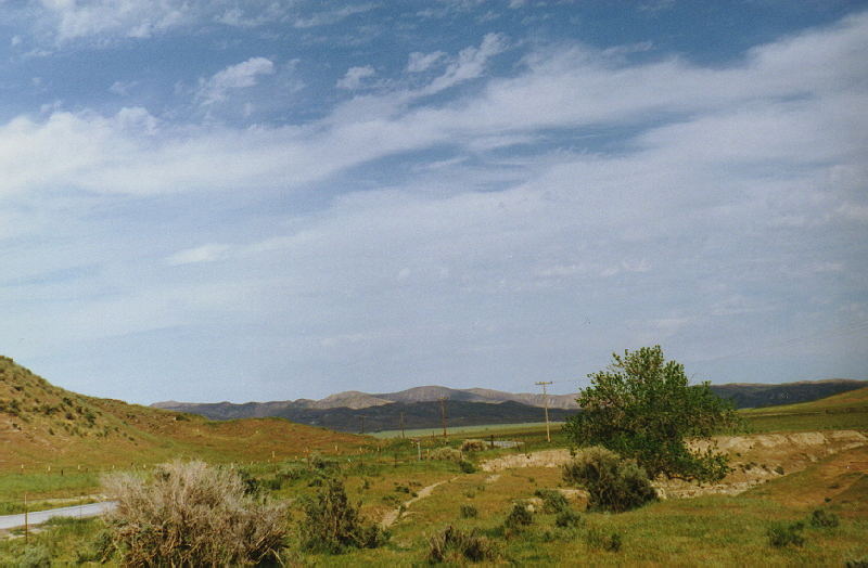
This is looking towards I5 and Manning, and probably the Tumey Hills
BLM area.
The road through that BLM area is dirt.
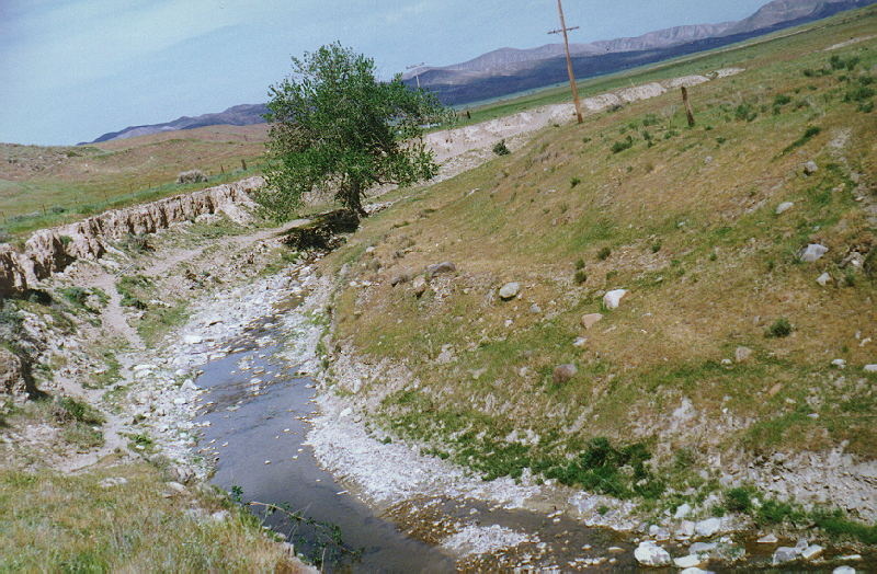
This is a small stream that runs by the access road.
This is looking north. The access road is two lanes through here.
This is looking east. Another plot surrounds the road a bit south of
here.
Panoche
Hills
BLM
Continue
on J1 East (Shields Avenue) to 180 and Kings Canyon
180 Index
I5 South
I5
North
Home
©2001
|Contact
info for Eric Buchanan