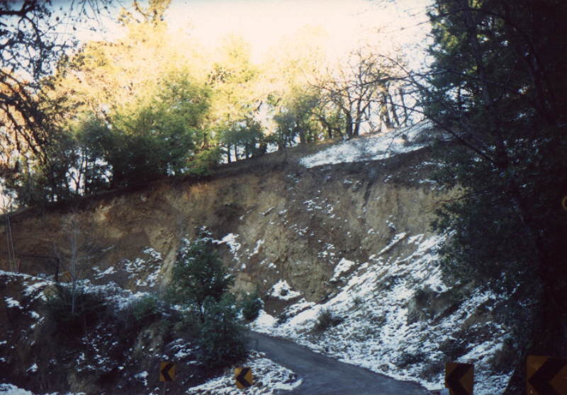
A snowed in dirt driveway (This driveway is on my "Bad Roads" page.)
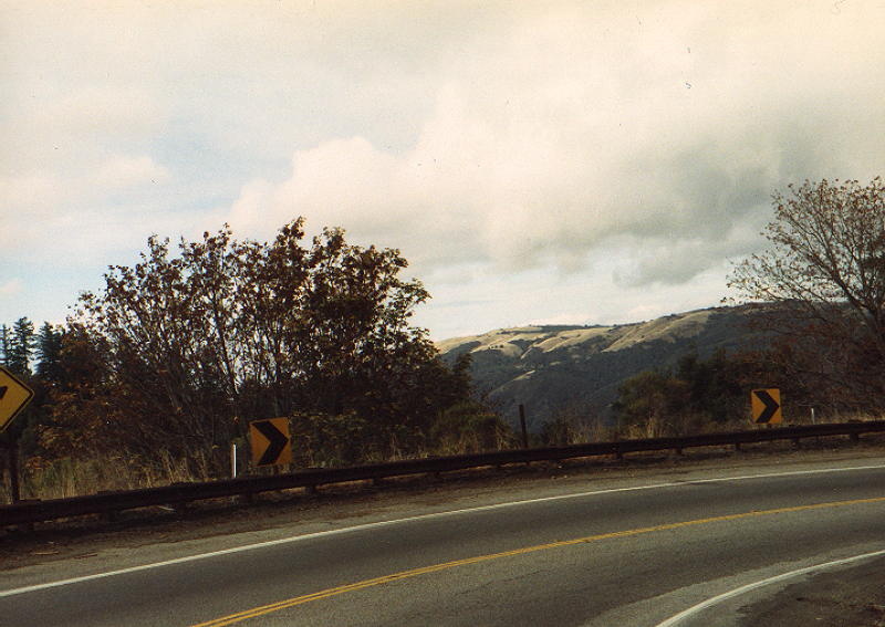
The next three are from October 1988. This one is showing the foothills near Skyline and Page Mill Road.
The Vista Point at Skyline (Highway 35) and Highway 9 | Highway 9 South | Highway 9 North, Page One | Highway 9 North, Page Two | 35 South of Highway 9, Page One | 35 South of Highway 9, Page Two | 35 South of Highway 9, Page Three | 35 North (South of Highway 9) | 35 South in San Mateo County to Highway 9 | Alpine Road Index Page | I280 Index |35 at the Vista Point in November 1986|35 at the Vista Point in January 1988| 35 at the Vista Point in January 1986
California Index Page
Home
©2003 | Contact info for Eric Buchanan