![[35 South of 9]](35_california_s_1.jpg)
![[35 South of 9]](35_california_s_2.jpg)
![[35 South]](35_s_california_4.jpg)
The
Vista
Point
at Skyline (Highway 35) and Highway 9
|
Highway
9
South
| Highway
9
North, Page One | Highway
9
North, Page Two | 35 South of Highway 9,
Page
One
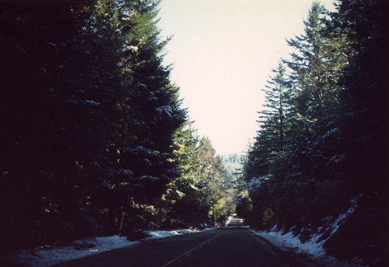
| 35
South of Highway 9, Page Two | 35
South of Highway 9, Page Three | 35
North (South of Highway 9) |
35
South in San Mateo County to Highway 9 |
35
at
the Vista Point in November 1986 |35 at
the Vista Point in January 1988 | 35
at
the Vista Point in January 1986 |Alpine
Road
Index
Page
| I280
Index
| Sitemap
California
Index
Page
Home
©2003 | Contact info for Eric Buchanan