![[Shore Road East]](shore_rd_east_3.jpg)
This is from the same day and a little further down the road.
![[Shore Road East]](shore_rd_east_4.jpg)
This is from March 1996, during an El Niño year, so the hills are very green. The tallest peak is Santa Ana Mountain (3112') near the center of the picture.
![[Shore Rd]](shore_rd_east_1.jpg)
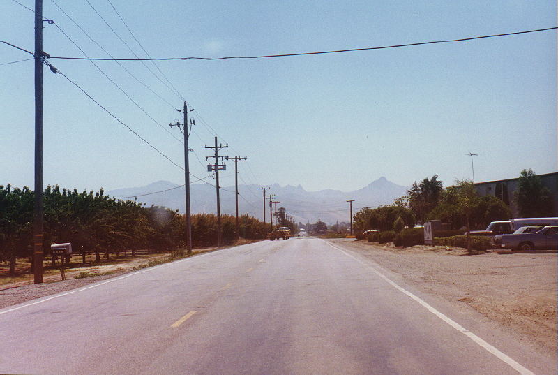
This is also from 4/1/2009 and it was taken just before
Dunneville.
![[Shore Road East]](shore_rd_east_5.jpg)
Shore Road changes names to Fairview Road, and passes through a
tiny
town
called Dunneville.
Here you can get a good peek at the mountains of Merced and San
Benito
County. This is from April 1, 2009. The light with the junction
of 156
is fairly new.
![[Fairview Road East]](shore_rd_east_6.jpg)
This was taken in July 1995.
156 East
156 West
Fairview Road South (Shore Road becomes this at 156)
California Index Page
Home
©1998 - 2009 | Contact info for Eric Buchanan