The rest of these are mainly from 11/29/2008 for another 200 miles or so. This is by Mile 209. The fog is over the horizon.
![[I5 North]](i5_n_kern_1.jpg)
This is about Mile 211. The tule fog is barely into the Grapevine
here. The yellow sign is for the runaway truck ramp. This is steep
going southbound (downhill) and northbound (uphill.)
![[I5 North]](i5_n_kern_2.jpg)
The highway splits up again here. The mountains next to the freeway are about 5000' tall. The freeway is about 3550'.
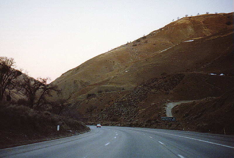
These mountains can receive snowfall during the winter. This is from the record cold of December 1990.
![[I5 North]](i5_n_kern_tejon7.jpg)
©2008 |Contact info for Eric Buchanan