A closed off Forest Service road.
![[190 East]](190_e_california_tulare_6.jpg)
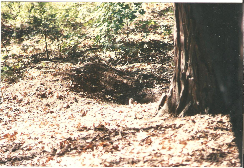
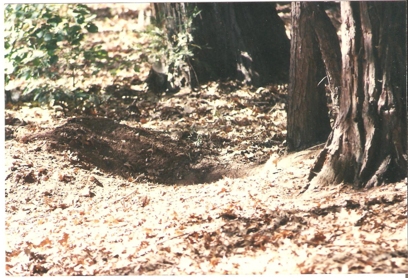
There were baby squirrels playing here in these two photos.
Now, back to 190 East.
These two are taken about a mile east of Camp Nelson on 190, at
the side of the road. The altitude is about 6000' here. The smog
is usually not as bad as this photo shows.
![[190 East]](190_e_california_tulare_6a.jpg)
![[190 East]](190_e_california_tulare_6b.jpg)
The Crest of the Sierras is here.
This is about 7700' up. 190 is proposed to run completely
through to the other side of the Sierras, but it stops about
here for now. This is near Quacking Aspen. These pictures with
the snow drifts are from 3/5/97.
![[190 East]](190_e_california_tulare_7.jpg)
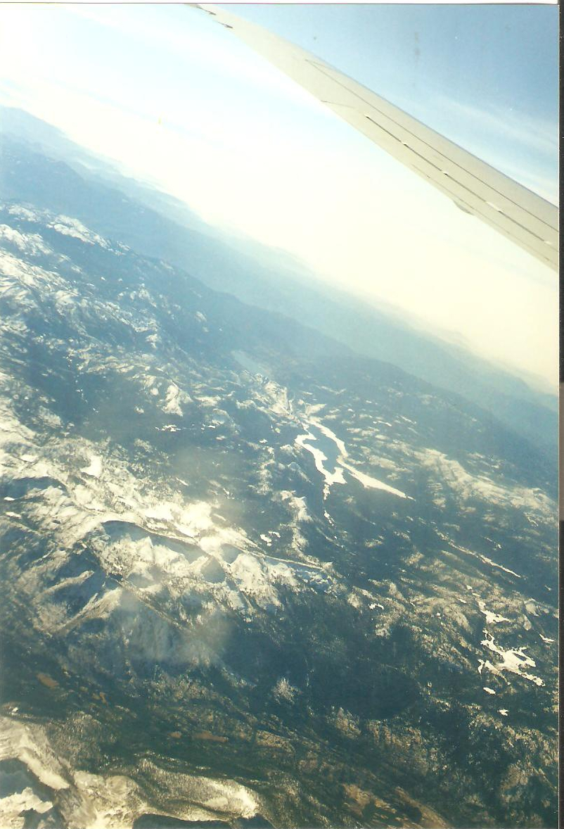
This is from 11/11/1999. The really snow covered
mountains at the upper right side of this photo below are the
same mountains shown in the first four photos on this page. Lake
Isabella is shown in the center of the photo below. This is the
Southern Sierra.
©1998 | Contact info for Eric Buchanan