Loma Prieta (3806 feet) is to the extreme right, and you can see the Santa Cruz Mountains as far south as about US101 and 129 from here. The foothills below them run along US101 from Morgan Hill to San José. The foothill to the right with a lone tree in the middle of a bald spot is Mount Misery (2505 feet.)
![[130 West]](130_w_california_5.jpg)
This is looking roughly towards Moffett Field. This was from the start of the drought, and there weren't many pretty days during the drought. Note the difference in the coloring of the hills. The lower foothills, to the left, are almost an olive color, and the taller foothills are yellow.
![[130 West]](130_w_california_6.jpg)
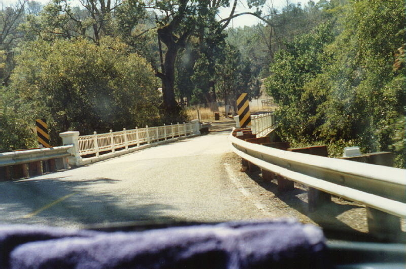
This is the Smith Creek Bridge. Here you enter Grant Ranch County Park.
This bridge was built in the 1920s. Here's a look at its supports.
![[130 West]](130_california_bridge_1.jpg)
130 West
130 East (Mt. Hamilton to I5) Index Page
Home
©2001 | Contact info for Eric Buchanan